Hawkes Bay Triple Peaks Challenge 2024
4 min read
Embarking on the 2024 Hawke's Bay Triple Peaks (twin peaks) race was an adventure that pushed my limits, both mentally and physically, like never before. With 35 km of demanding terrain punctuated by an elevation gain of 1,400 meters, the last few months were full of intense training. It was a brisk autumn morning, as I readied myself to tackle the renowned peaks of Te Mata and Mount Erin.
Some of the links on this site are affiliate links. This means if you click on the link and make a purchase, I may receive a small commission at no extra cost to you. Your support helps keep this site running. Thank you!
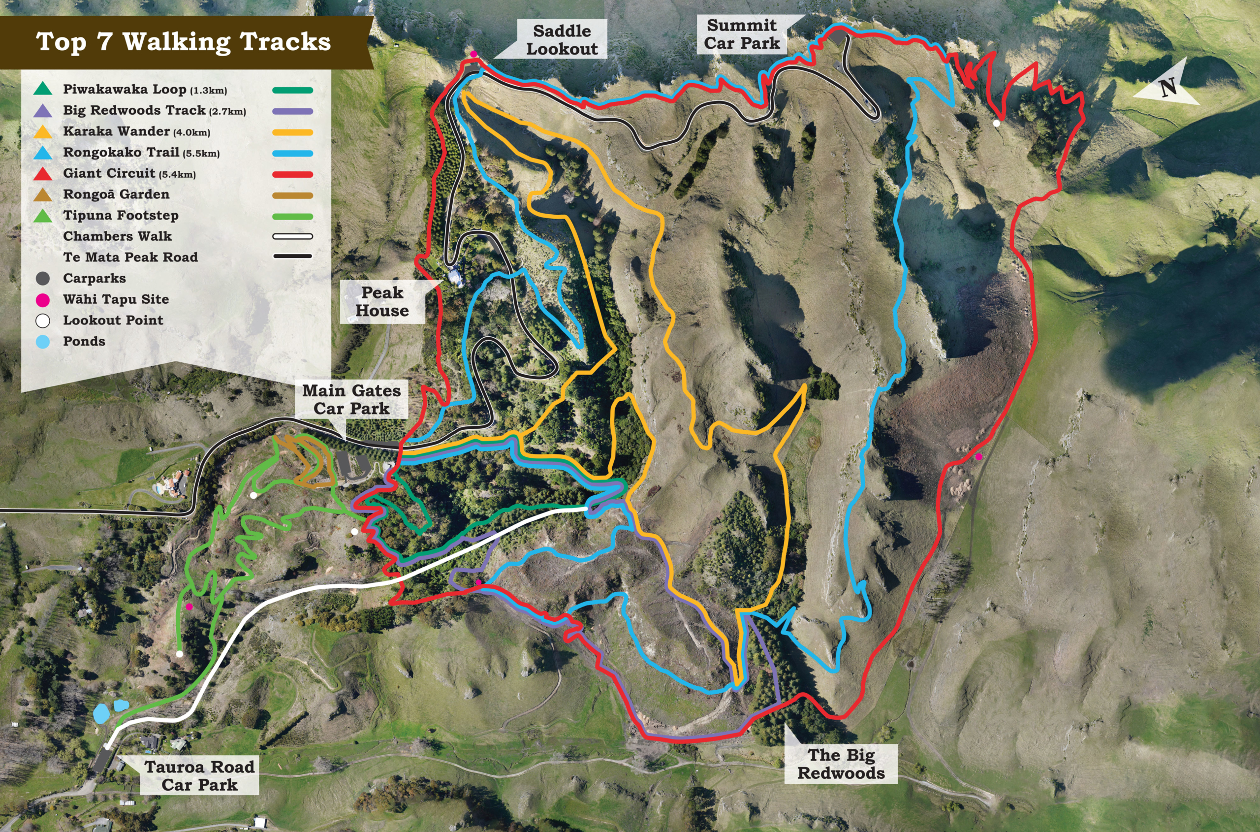
One of the awesome parts about living in Hawkes Bay New Zealand is our proximity to Te Mata Peak. Only a 10 min drive away, it has many different colored tracks to hike or mountain bike.
A couple times a week or a few times a month, a few of us co-workers go run one of the tracks at lunch. You can’t beat the views or intense workout.
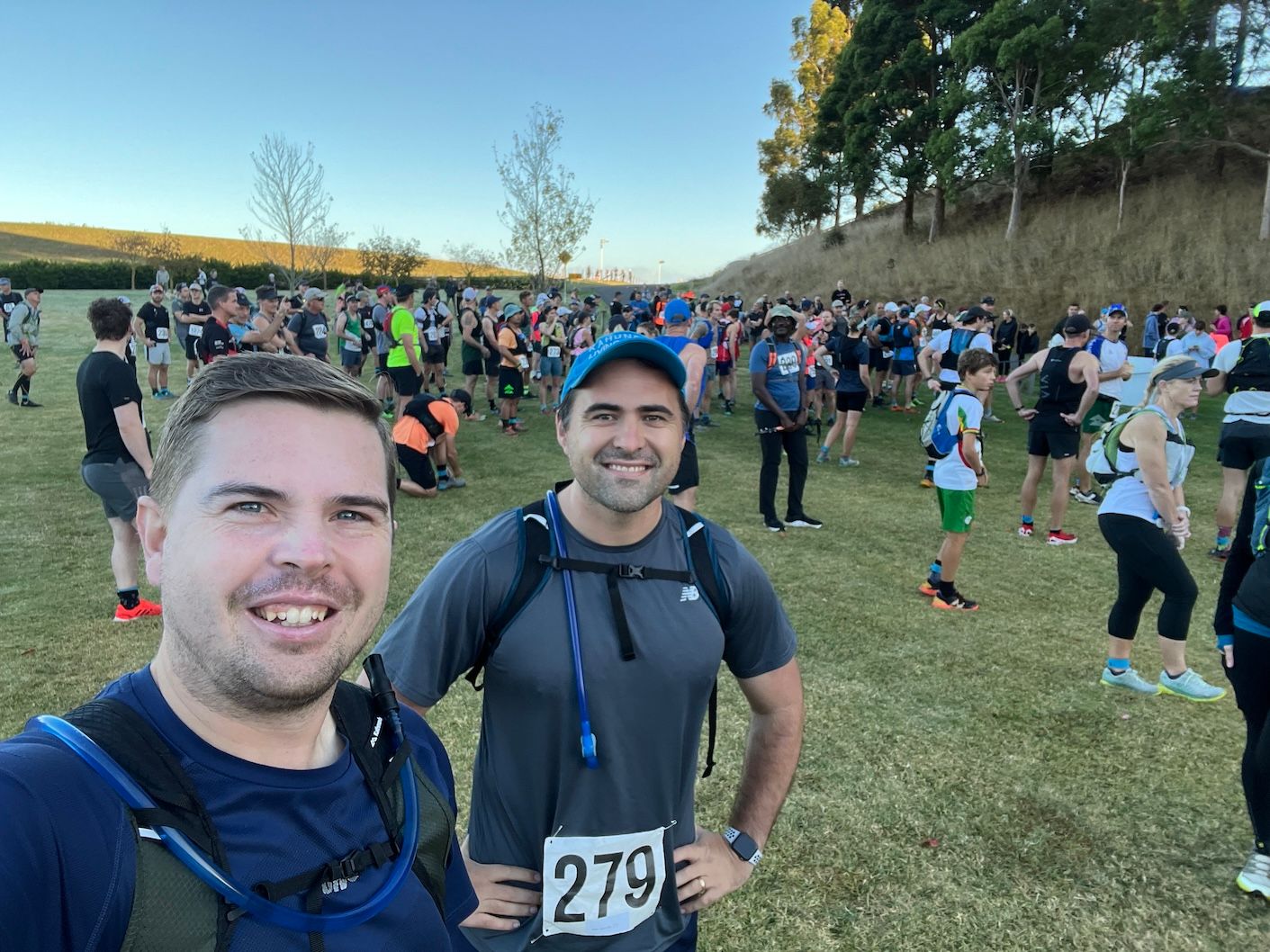
I had used it as part of my training for last year’s night-time Possum Run next to Lake Taupo. This year, one of my co-workers, Ben, had signed up to run it as part of the Hawkes Bay Triple Peaks race.
After a bit of convincing, I signed up too… for better or worse.
Triple Peaks… or rather Twin Peaks
The Triple Peaks race typically has runners or mountain bikers summit 3 local mountains, Te Mata, Kahuranaki, and Mount Erin, and cross the Tuki Tuki River twice at a shallow point in the valley. It covered 55 km and over 2000 meters elevation. Last year, however, Cyclone Gabrielle wreck havoc on our Hawkes Bay and damaged the trails on Mount Kahuranaki so it could not be included in this years race.
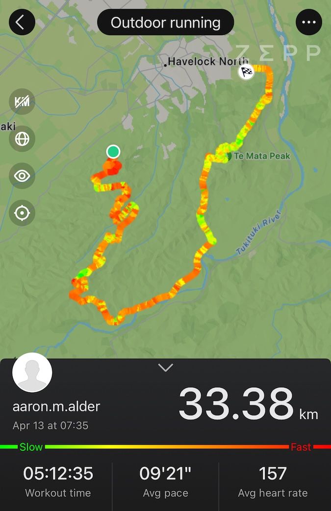
So Triple Peaks 2024 became Twin Peaks 2024, but it still presented a daunting challenge. At 35 km and 1400 meter elevation gain between the two peaks, it was going to be my longest and hardest race by far.
Training
I had been running around 10 - 15 km a week between 2-3, 5km runs up Te Mata peak, but that wasn’t going to get me the distance. But with the variety of weekly activities, my only chances for really long runs (unless I woke really early in the morning) was to do one over the weekend. So I kept to 2-3, 5km lunch runs, then slowly increased my weekend run, 10km to 15km to 20km, maxing out at 22km a couple weeks before the race.
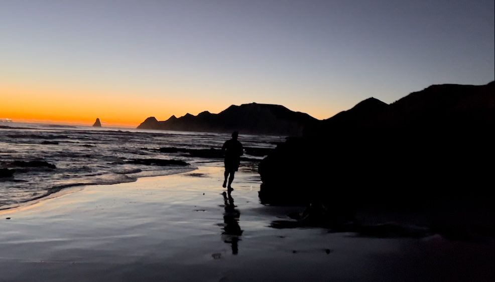
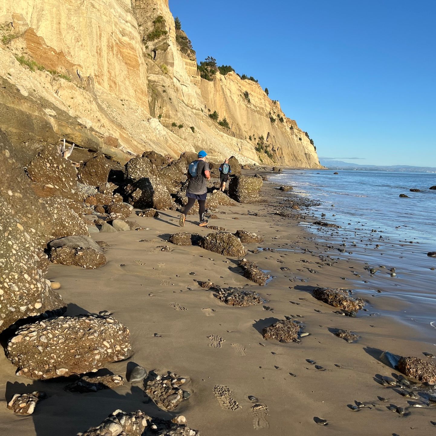
Cape Kidnappers
Long runs on the weekends can be tedious, so we were always looking for ways to shake it up a bit. A few weeks before the race a three of us ran a sunrise run to Cape Kidnappers, an awesome 20km run along the beach, that at the end, climbs up a couple hundred meters to a gannet colony of thousands of birds. I wrote about it a few weeks ago here.
Rainbow Run on Te Mata
Another awesome training run we completed was to run every colored track on Te Mata Peak, all 7 of them.
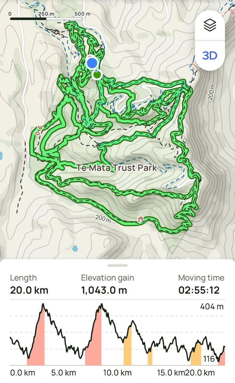
I was exhausted after. It was my hardest run to date, 20 KM and 1000 meters elevation, but I would still need to find another 15 km and 400 meters elevation on race day. Not sure how that was going to happen, hopefully adrenaline.
Race Day
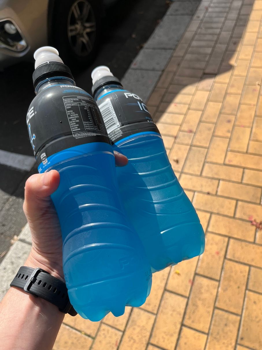
I went to town carb loading before the race. I’ve recently gotten into baking sourdough bread and much was consumed. I also loaded up on electrolytes the day before and morning of, as dehydration was my biggest worry.
It was a bit chilly that morning but not too bad. The anticipation was killing me, and it was hard to watch all the bikers start before us, waiting another 10 or so minutes for them to get up the trail a bit.
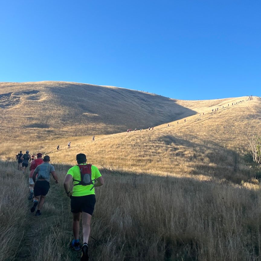
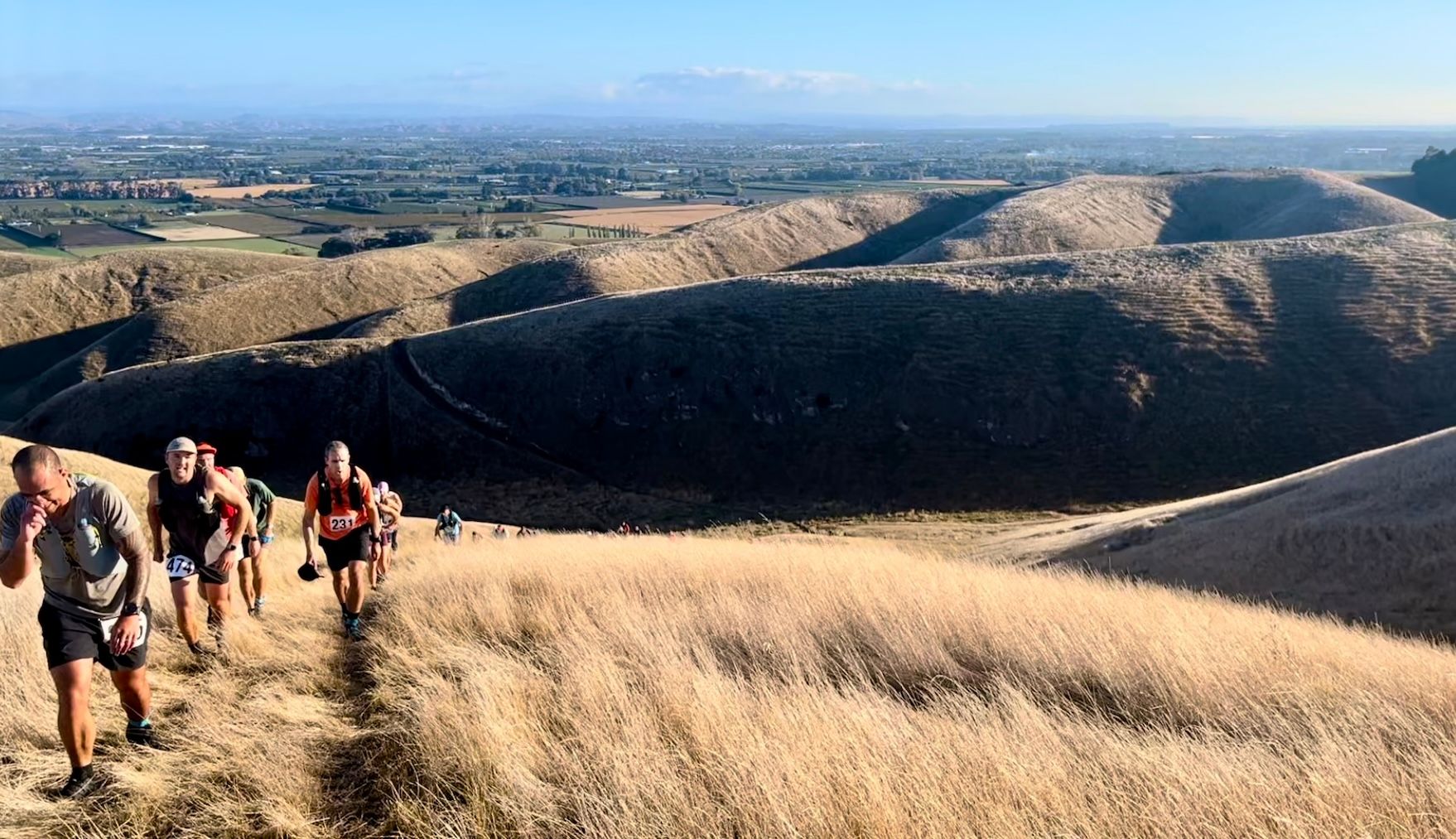
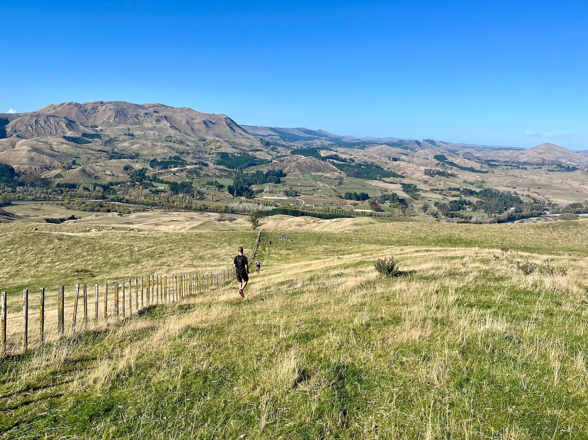
Then we were off! It was straight into a climb and along the way to Mount Erin, we had to cross several gates, muddy pools, and a stream. This first part was all along private land and mostly along cow tracks. Turns out that cows don’t make good paths and the ground was so bumpy, but the views were incredible!
Flat out winded here.
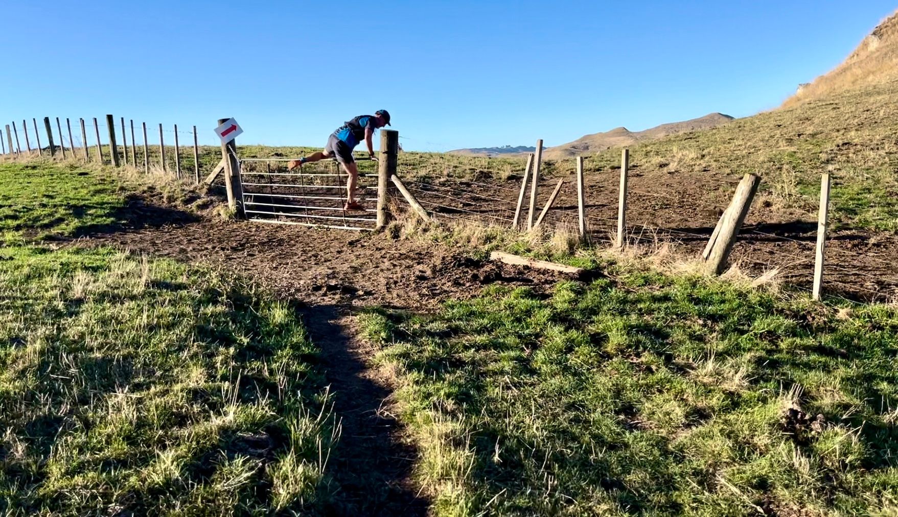
Several farmers let us over their private land as part of the race track.
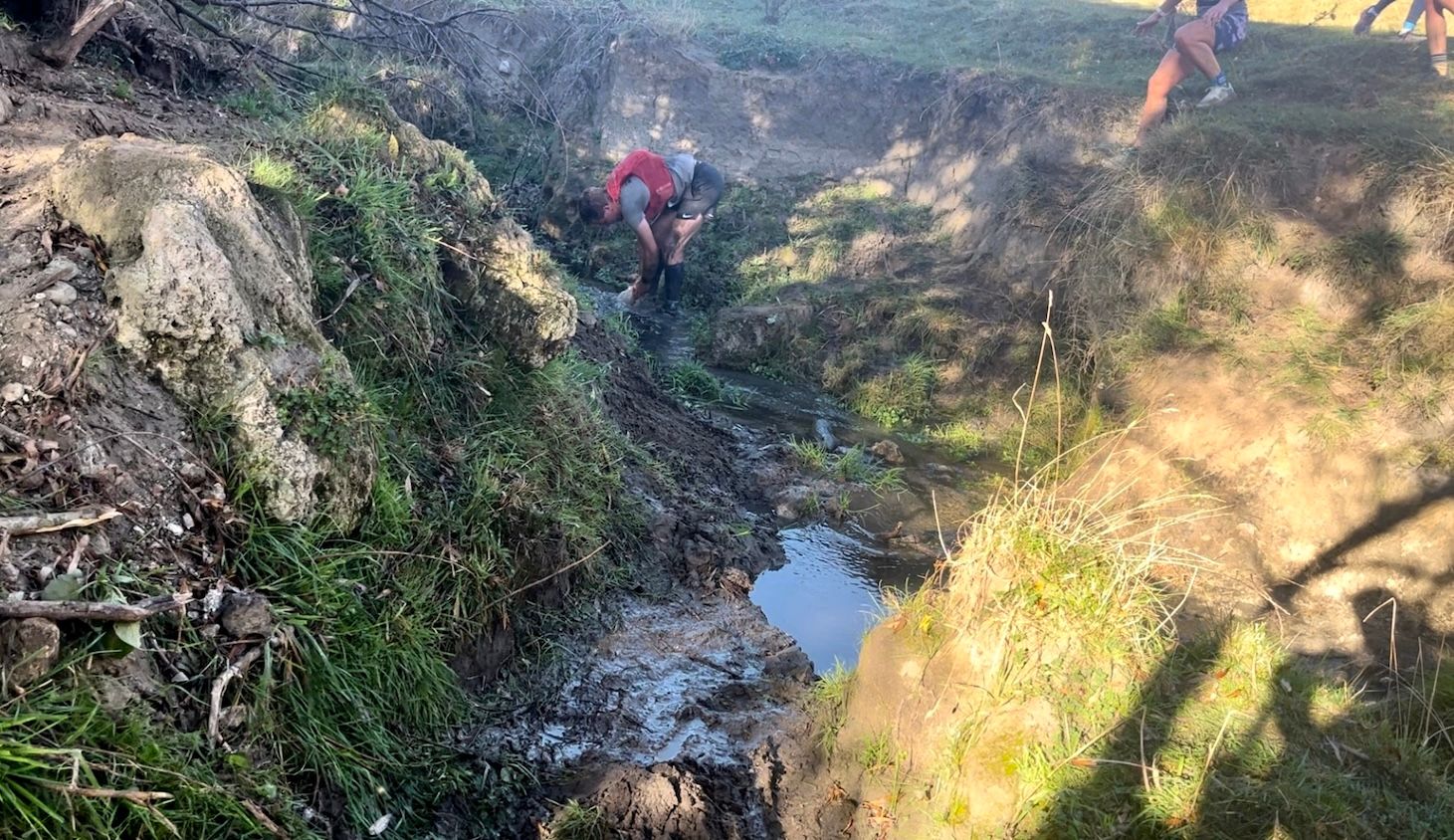
One poor guy lost his shoe pulling it out and had to dig for it.
Mount Erin
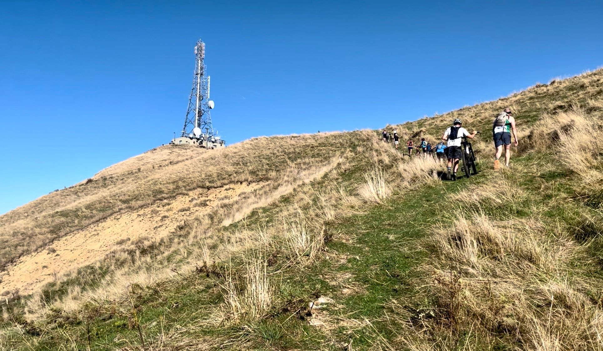
I passed a lot of bikers that had started before us, but had to push their bikes up this part.
They passed us again going down the other side at about 60 km/hr
Mount Te Mata
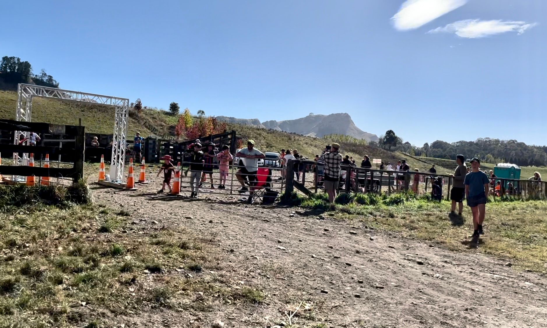
If you were only doing the 1 peak challenge, then you finished at the bottom of Mount Erin, about 20km in at this point. It also served as a checkpoint for the Twin Peaks runners. I stopped to fill up my water and grabbed a bunch of gummy worms for energy. You could just see Te Mata in the distance, 15 km left to run.
Leaving the checkpoint was a pretty steep climb over the foothills leading to Te Mata. At the top of the first one I was really struggling. My left calf was cramping pretty bad. I ate all the candy and drank a bunch of water and I was able to move again 10 min later.
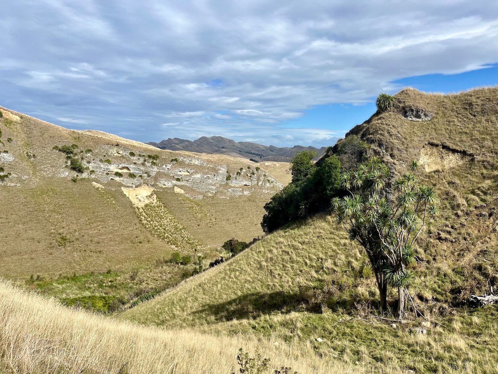
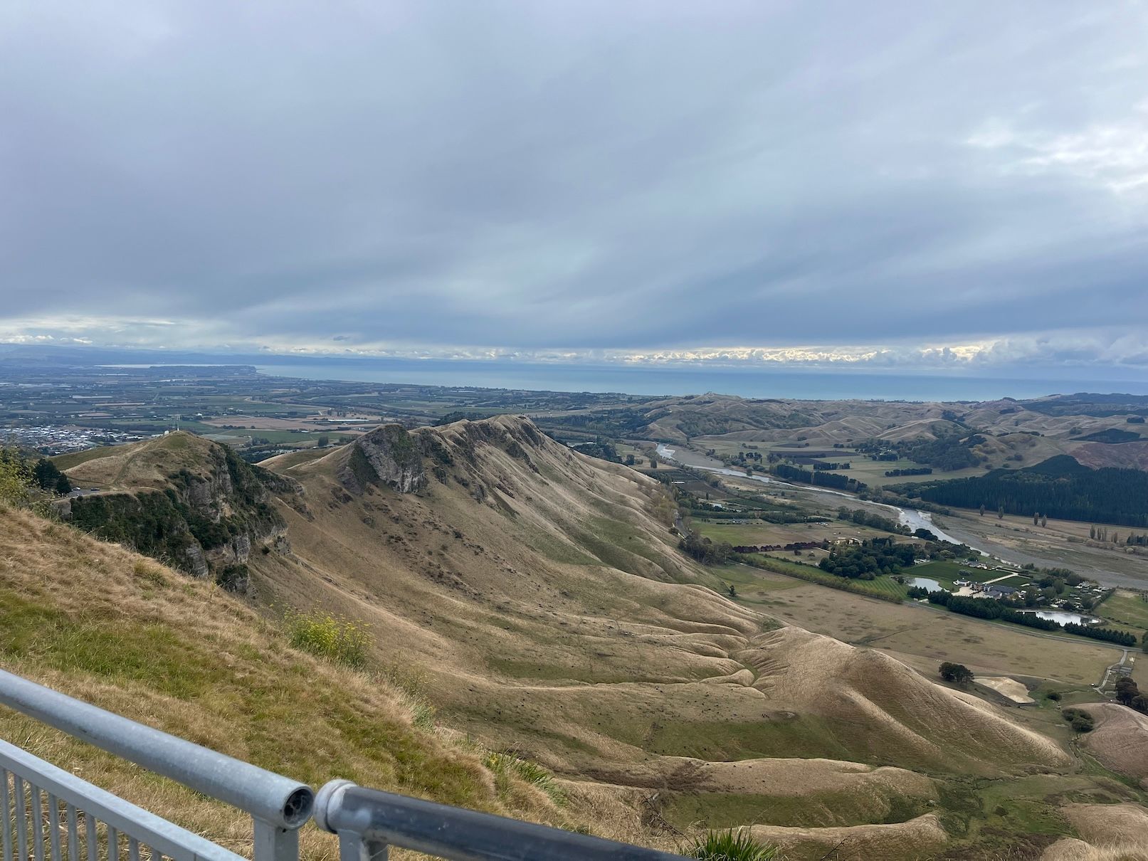
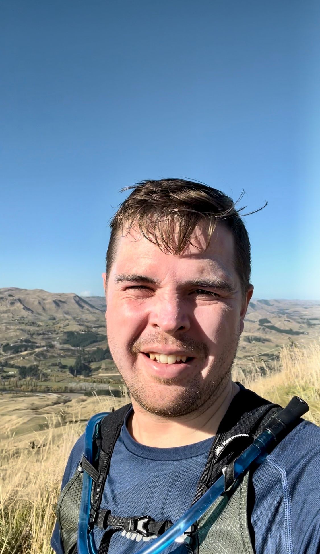
As I started on the familiar yellow track of Te Mata, the magnitude of how far and how high we had climbed at this point was just starting to hit me as you could see Mount Erin way off in the distance.
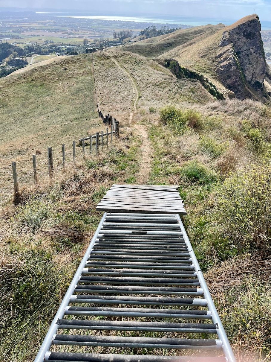
I had to walk several sections going up Te Mata as I was starting to hit the wall. It was a huge relief to get to the top but my legs were quite shaky and I had to get down what the race director said was a “technical track” to get down to the bottom. Apparently this including climbing over mountain bike elements. This was so hard with my tired legs. Running down almost was harder than going up.
Finish
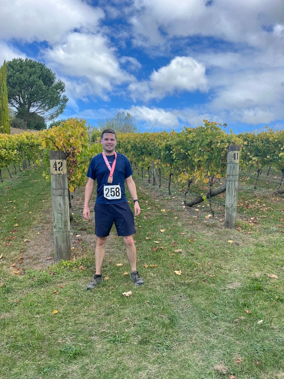
Once you get off Te Mata you get on to a nice flat last few km running along a limestone path next to the main road. Rounding Te Mata’s base, the finish line was just in the distance.
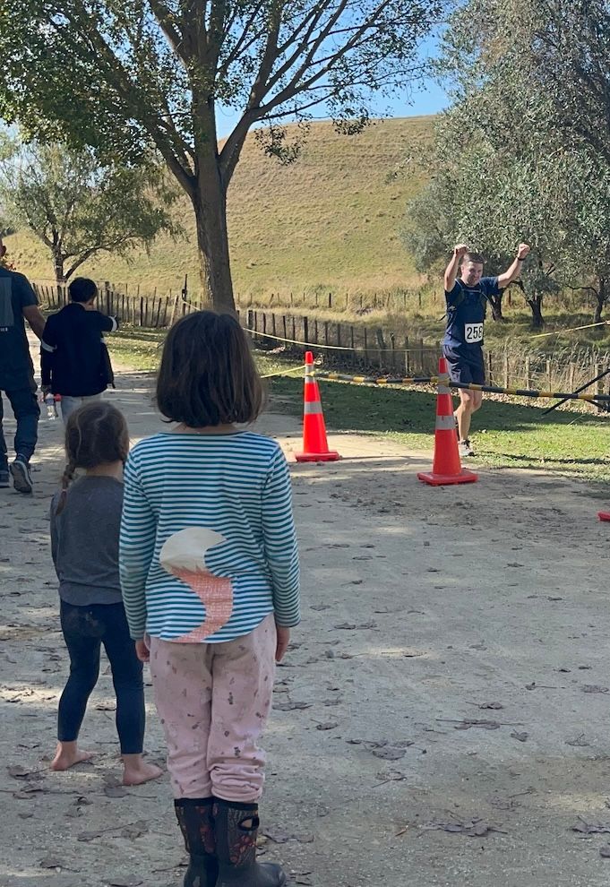
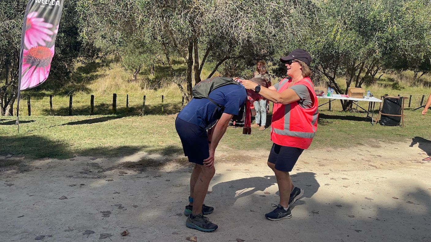
The family had lined up to greet me, and with their cheers, I had just enough energy to run (maybe not an accurate description) the last bit to the end. I finished with a time of 5:12:25, just 12 min over my goal of finishing within 5 hours.
It was way harder than I had ever anticipated. I can’t imagine adding a third peak in the mix, but maybe next year I can train a bit more!